Cascade Creek Trail (July 21 through 24)
(Click on photos to see larger images, then hit the BACK button)
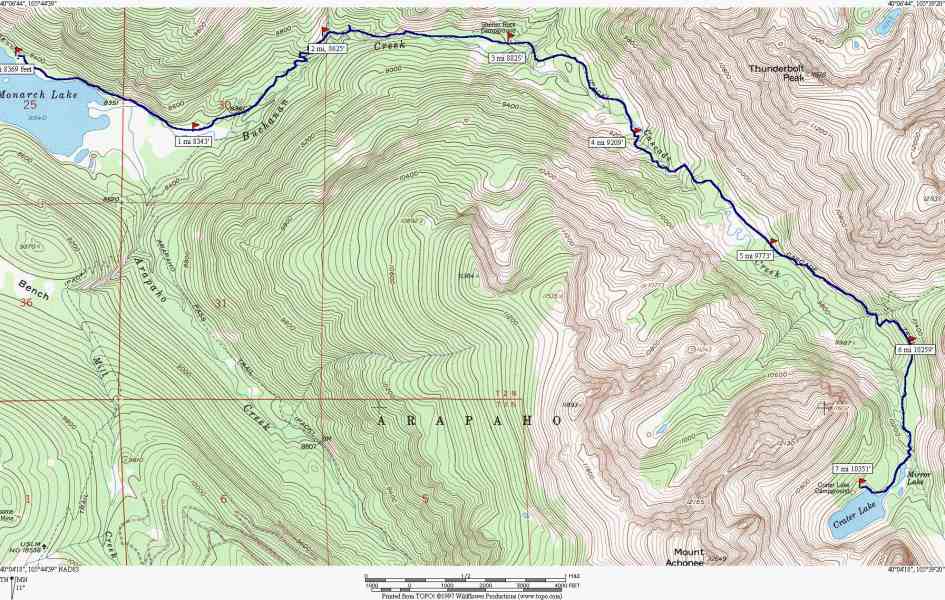
Map of Trip (about 15 miles round trip with a 2000 foot altitude gain)
Phil and BJ before the trip

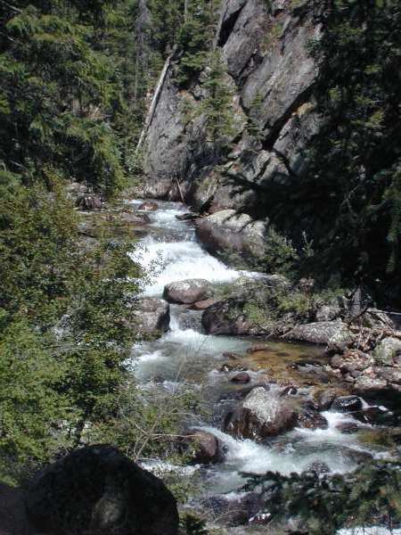
Cascade Creek
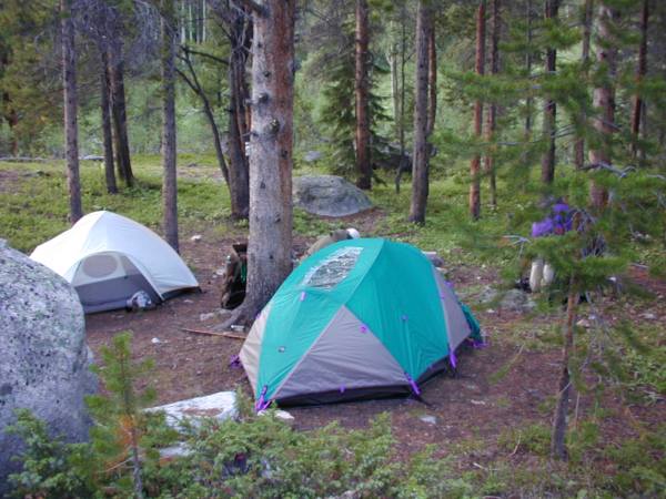
First Camp
View from first camp at sunrise

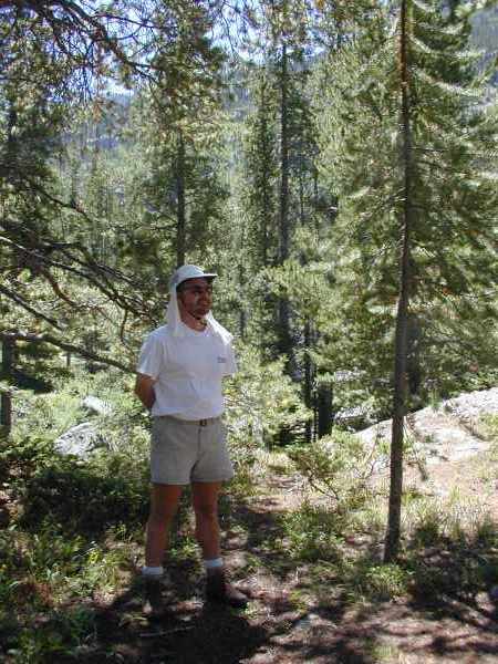
John before starting out on Day 2
Phil on log bridge over Cascade Creek
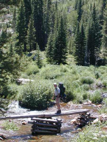
John and Phil on log bridge

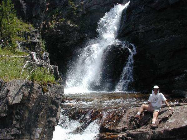
Cascade Creek Falls

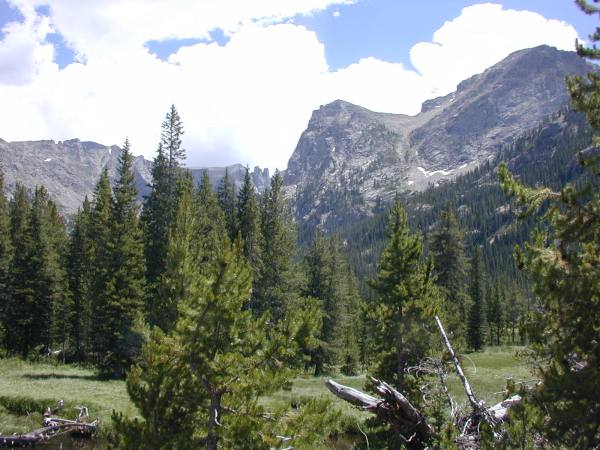
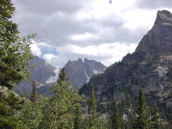
View of Continental Divide looking towards Crater Lake
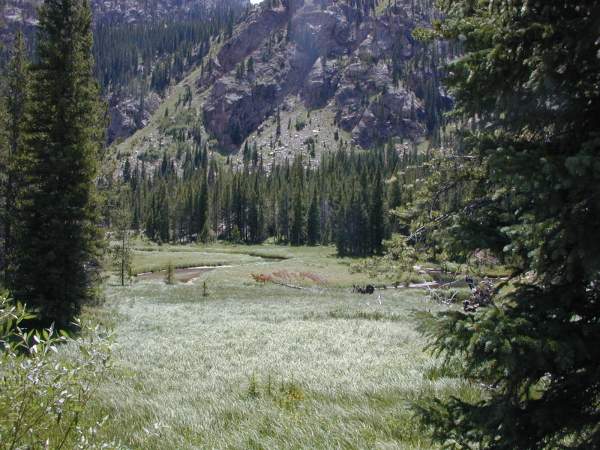
A river runs through it
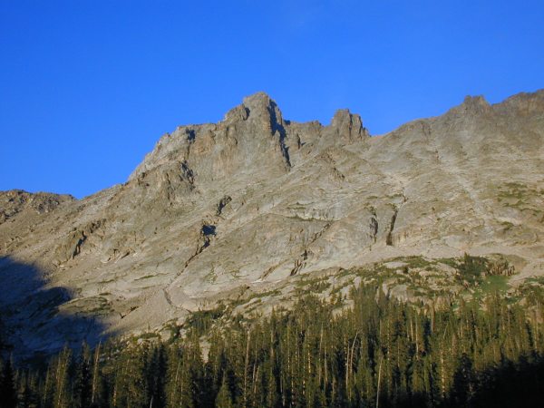
Another view of Continental Divide looking towards Crater Lake
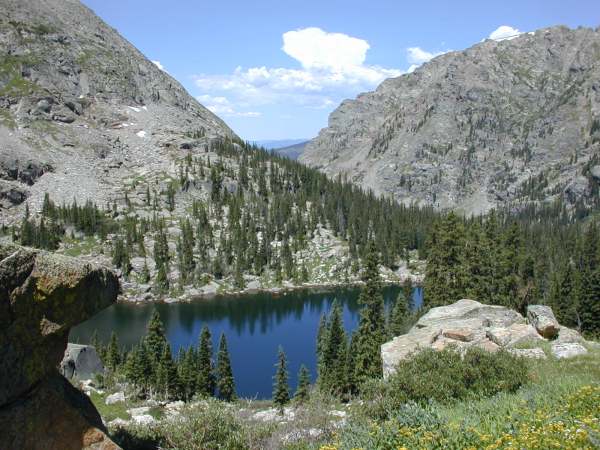
Second camp on Pawnee lake

Continental Divide looking towards Pawnee Pass
View at Sunset--second camp

Looking back at Pawnee Lake fron Pawnee Pass Trail
Pawnee Pass

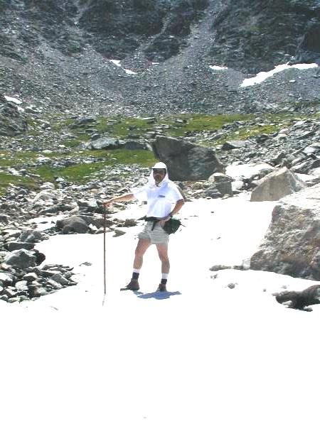
Snowfield in late July
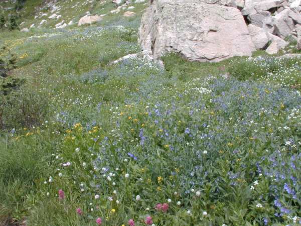
Wildflowers at 10,000 feet
The hike out

Last stop at the falls (plum wore out)